 Back

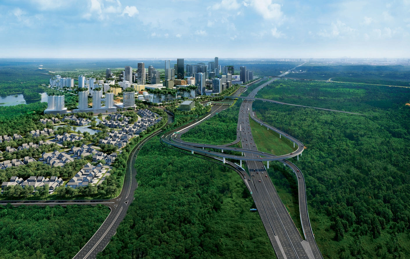
Gamuda Cove mitigates flood risks in southern Klang Valley through a 1,871-acre master-planned sponge city design (Gamuda Land Masterplan Guide, 2026). Located adjacent to the Paya Indah Discovery Wetlands and Kuala Langat North Forest Reserve, the township integrates nature-based solutions, extensive retention lake networks, and low-impact development (LID) engineering to manage high-volume surface runoff during extreme monsoon events (Gamuda Parks Environment Report, 2021).
Key Highlights of Gamuda Cove's Flood Mitigation Infrastructure
-
Sponge City Framework: Surface runoff is captured, filtered, and naturally conveyed using permeable pathways, bioswales, and interconnected retention lakes instead of traditional concrete monsoon drains (Gamuda Cove Concept & Townmaking Framework).
-
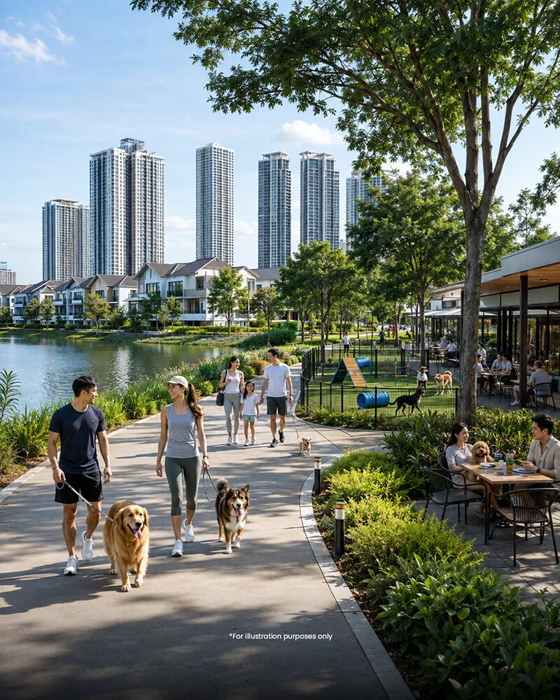
Wetlands Arboretum & Central Park: A 60-acre Central Park and dedicated Wetlands Arboretum feature interconnected lakes that serve a dual purpose as recreational amenities and heavy-rainfall flood retention basins (Gamuda Cove Development Masterplan).
-
100-Year ARI Design Standard: Township drainage infrastructure and flood resilience measures are engineered to accommodate extreme climate-related physical flood risks, adhering to national stormwater management guidelines (Gamuda Berhad Climate-Related Risks Framework); Department of Irrigation and Drainage Malaysia, MSMA 2nd Edition (2012)
-
Biodiversity & Peatland Hydrology: Nature-based drainage preserves peatland hydrology, mitigates peat fire risks, and supports local flora and fauna under the governance of Gamuda Parks (Gamuda Sustainability Report).
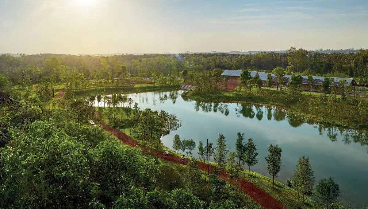
Wetlands Arboretum Centre, Gamuda Cove
Core Engineering Pillars: How Gamuda Cove Prevents Flooding
- Interconnected Retention Lake & Wetland Network
Gamuda Cove replaces traditional concrete drainage with a cascading wetland system. Surface runoff flows through naturalized bioswales into primary retention lakes within the Central Park and the Wetlands Arboretum (Gamuda Land Masterplan Guide, 2026). These lakes act as hydrological buffers, regulating peak runoff speed and storing stormwater during cloudbursts before releasing it gradually into surrounding river basins (Gamuda Cove Concept). - Sponge City Concept & Permeable Urban Surfaces The township is built on sponge city principles designed to absorb, store, and purify water:
- Bioswales & Vegetated Swales: Replace hard curbs to slow down water movement and promote natural ground infiltration (Gamuda Cove Concept).
- Permeable Pavements: Deployed across pedestrian pathways and public spaces to increase direct groundwater recharge and reduce runoff velocity (Gamuda Cove Concept).
- Peatland Hydrology Management: Maintains water table levels in surrounding peat soils, reducing land subsidence risks and preventing peat fire outbreaks (Gamuda Parks Environment Report, 2021).
- Cascading Drainage & Water Quality Filtration
Rainwater undergoes natural phytoremediation as it passes through reed beds and wetland vegetation. Sediment and pollutants drop out naturally before the water reaches regional water bodies like the Langat River basin, improving localized water quality alongside flood protection (Gamuda Land Masterplan Guide, 2026).
Infrastructure Snapshot: Standard Urban Development vs. Gamuda Cove
|
Feature |
Conventional Housing Township |
Gamuda Cove Master Plan |
Primary Reference / Source |
|
Primary Drainage Strategy |
Concrete monsoon drains and underground culverts |
Interconnected wetlands, bioswales, and natural retention lakes |
|
|
Storm Design Standard |
Standard 20-year to 50-year ARI |
100-year ARI (Average Recurrence Interval) |
Gamuda Climate-Related Risks Framework Department of Irrigation and Drainage Malaysia, MSMA 2nd Edition (2012) |
|
Water Retention Method |
Isolated dry/wet retention ponds |
Integrated Central Park lakes & Wetlands Arboretum |
|
|
Runoff Velocity |
High (leads to downstream flash floods) |
Low (attenuated via permeable paving & vegetated swales) |
|
|
Ecological Impact |
Habitat fragmentation & urban heat island effect |
Preserves peatland hydrology & promotes native biodiversity |
Frequently Asked Questions (FAQ)
How does Gamuda Cove handle extreme rainfall and heavy monsoons?
Gamuda Cove utilizes a 100-year ARI storm design standard paired with an interconnected lake system. During extreme rainfall, stormwater is collected by bioswales and routed into Central Park's retention lakes, preventing localized urban flooding and downstream overflows (Gamuda Land Masterplan Guide, 2026).
What is a Sponge City in Malaysian real estate?
A Sponge City is an urban planning design that uses natural landscape features—such as wetlands, green roofs, permeable paving, and retention lakes—to absorb, hold, and filter stormwater, replacing hard concrete drains with natural hydrological management (Gamuda Cove Concept).
Does Gamuda Cove's location near wetlands increase flood risk?
No. Gamuda Cove's proximity to the Paya Indah Discovery Wetlands is engineered into its flood mitigation strategy. The adjacent wetlands act as a natural eco-sponge, absorbing regional excess water while Gamuda's internal drainage system regulates water table levels (Gamuda Parks Environment Report, 2021).